WINTER ACCUMULATION CONTEXT
El Niño / La Niña
NOAA ENSO discussion ↗ENSO shifts seasonal odds. It does not determine Sierra snow totals or spring flooding.
Important official Corcoran flood news by email. No routine reports.
Checking your alert preference…
Corcoran Flood Watch · Sierra snowpack & spring runoff
Checking the NWS feed…
This watch follows the water stored in Sierra snowpack and the spring runoff it may produce for the Kings, Kaweah and Tule river systems. Reservoir storage, operations, diversions and levees influence how much reaches the Tulare Lake basin—and what that could mean for Corcoran.
Loading dated snowpack and runoff sources…
Checking the seasonal runoff forecast…
Dark line: monthly median. Shaded band: 90% to 10% exceedance values from the model ensemble.
| Month | Median volume | 90%–10% exceedance range |
|---|
A 90% exceedance value is exceeded by about 90% of model traces; a 10% value is exceeded by about 10%. These are streamflow volumes, not probabilities of flooding. The guidance is raw model output and has not been reviewed by a hydrologist. Monthly medians should not be added to estimate the seasonal median.
A spring-water outlook, not a Corcoran flood-depth forecast. These volumes do not specify reservoir releases or the amount that will enter Tulare Lake. No lake elevation, levee overtopping or property flooding is inferred.
ENSO shifts seasonal odds. It does not determine Sierra snow totals or spring flooding.
Green/brown on precipitation maps means wetter/drier category odds, not rainfall amounts or flood probability. EC means equal chances—not a prediction of normal conditions. Temperature and snow levels affect whether winter precipitation is stored as snow. Tap the map for its full-size legend.
These are adjustable examples, not measured starting conditions. Runoff, routing, pumping, evaporation, gates and changing surface area determine actual storage and water levels.
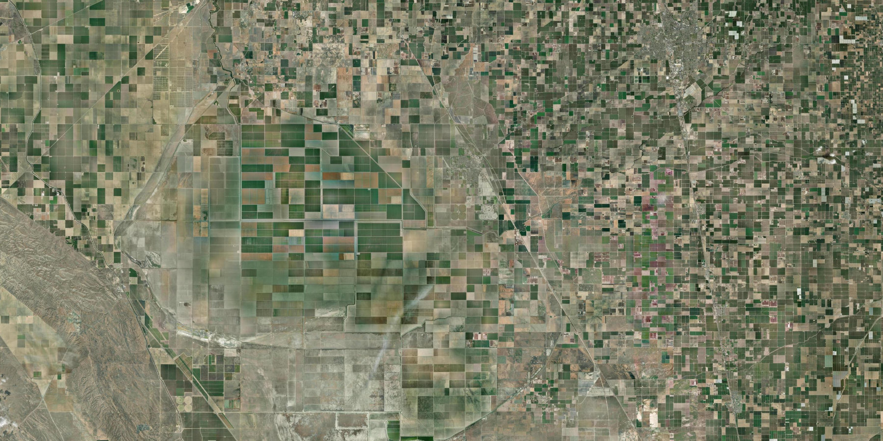
The lakebed is not one flat bowl. Separate storage cells, uneven ground and levees control how water collects. A terrain elevation, a lake water level and a river gauge stage are different measurements.
2024 cell tables hosted by the State Water Board. Separate cells are not the whole lake. These tables do not show today's water level, inundation extent or levee condition.
Pan and zoom; tap a point to query USGS ground elevation. Gold lines: USACE levee alignments. Blue: FEMA high-hazard zones. Purple: mapped 0.2%-annual-chance or levee-related zones. These are not forecast flooding. Open USGS map ↗
Corcoran overview. John Muir is a public school landmark; no residence is identified.
Loading official map layers…
The slider is an assumed absolute water-surface elevation in feet. It is not a lake observation, river-gauge stage, flood probability, inundation model, or evacuation boundary. A simple subtraction cannot account for levees, connectivity, drainage, reservoir releases, or subsidence.
USGS returns terrain elevation, not finished-floor height. The personal estimate has an unverified vertical datum and date. Compare elevations only after confirming compatible vertical datums and a current survey. A positive difference does not establish flood protection.
USGS elevation service · FEMA official flood maps · NOAA National Water Prediction Service
Official alerts cover current conditions and remain separate from the spring runoff assessment.
Storage is a volume in acre-feet, not a flood elevation at Corcoran. Values are provisional; reservoir operations and routing matter.
Each report preserves its generation date and source dates. Missing observations are identified; reports do not assign a flood-risk score.